Considering a new water well in North Texas?
Share your location, acreage, and intended water use. We can help you think through realistic next steps.
Well Drilling
New residential and agricultural water wells for North Texas homeowners, ranchers, and rural property owners. We handle permits, drilling, and TDLR completion reports.
What to Expect
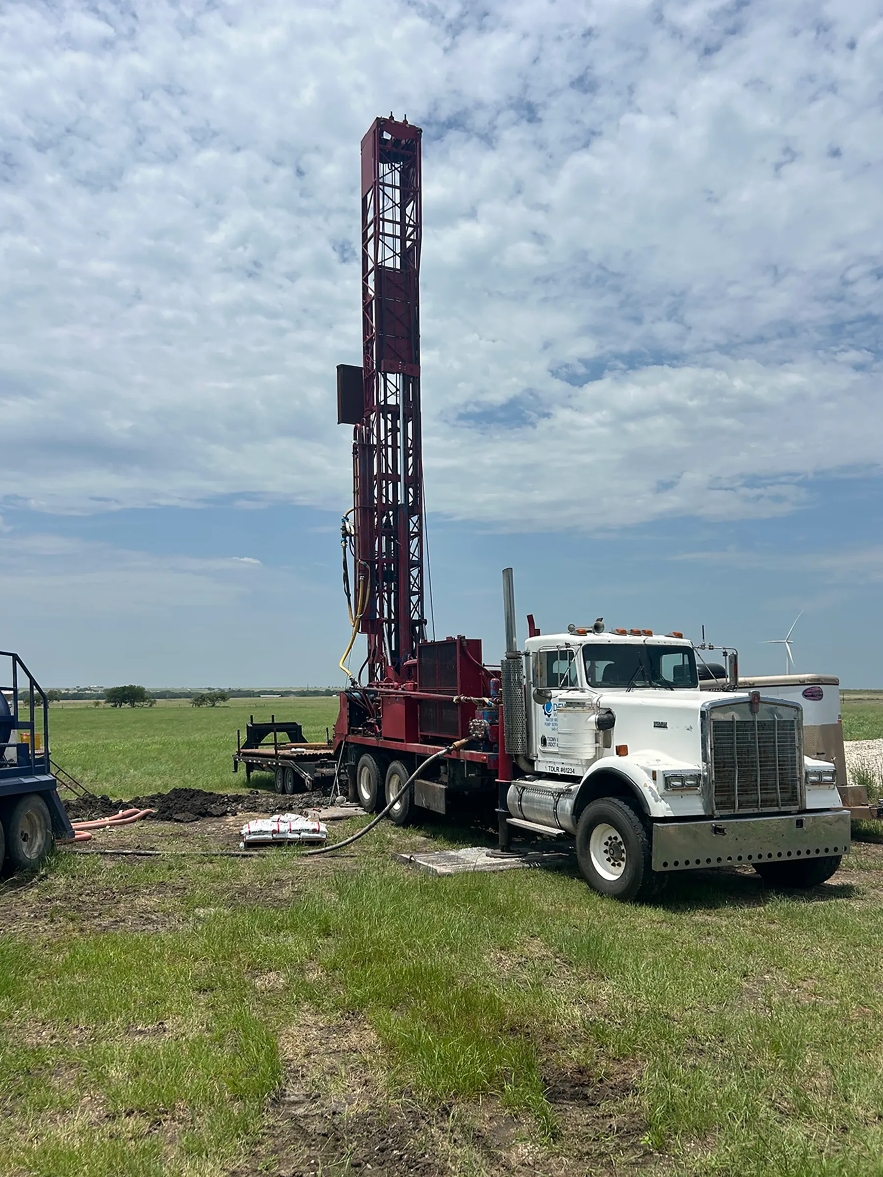
A properly drilled and permitted well is the foundation of your water supply for decades. We bring the rig, the knowledge of local geology, and the licensing — you get water and a clean paper trail with the state.
Every well we drill is registered with TDLR, cased to state standards, and documented in a formation log that becomes part of the Texas Well Report database. That record matters when you sell, refinance, or need to troubleshoot the well years from now.
How the Process Works
- 1
Site assessment
We review TWDB well records for your area, confirm setback requirements, and discuss target depth and expected yield.
- 2
Permit filing
We submit your TDLR Well Registration — and any required GCD permit — before drilling begins. Processing takes 2–5 business days.
- 3
Drilling & casing
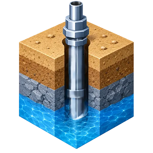
We drill to the target zone, run steel casing, and grout the annular space to protect groundwater quality per TDLR standards.
- 4
Development & yield test
The well is developed (surged and pumped) to remove drilling debris, then flow-tested to confirm yield.
- 5
Completion report
We file the Well Completion Report (Form WCP) with TDLR and hand you a copy — your permanent record of the well.
Typical Well Depths by County
North Texas sits on several distinct aquifer systems, so depth and yield vary significantly by county — and even by tract. These are general ranges from TWDB well records and local driller experience. A few counties (Dallas, Kaufman, Rockwall) sit on deep, confined, or brackish water where private wells are uncommon and most properties use municipal supply. Your site assessment will narrow it down.
| County | Primary Aquifer | Typical Well Depth |
|---|---|---|
| Collin | Woodbine / Trinity | 250–450 ft |
| Cooke | Trinity (Antlers) / Woodbine | 300–500 ft |
| Dallas | Trinity (deep, confined) | Deep & confined — mostly municipal |
| Denton | Trinity | 250–400 ft |
| Ellis | Woodbine | ~600–1,000 ft (Woodbine) |
| Erath | Trinity | 400–700 ft |
| Fannin | Woodbine | Varies (outcrop to ~1,200 ft) |
| Grayson | Woodbine | Varies by location |
| Hood | Trinity | 350–600 ft |
| Hunt | Nacatoch Sand | 300–650 ft |
| Johnson | Trinity | Site-specific |
| Kaufman | Limited groundwater | Limited — mostly municipal |
| Navarro | Nacatoch Sand | 100–800 ft |
| Palo Pinto | Cross Timbers (Pennsylvanian) | 100–450 ft |
| Parker | Trinity | 250–550 ft |
| Rockwall | Woodbine (subsurface) | Mostly municipal — rarely feasible |
| Somervell | Trinity (Glen Rose) | Shallow — Glen Rose near surface |
| Tarrant | Trinity | Varies W→E (Paluxy ~surface–1,000 ft) |
| Wise | Trinity (Antlers) | 200–350 ft |
Primary aquifer per the site's geology dataset; depth ranges from county TDLR/TWDB records. Depth varies by tract — we confirm from nearby well logs during your site assessment.
Frequently Asked Questions
How long does it take to drill a new water well in Texas?
How deep will my well need to be?
What permits are required to drill a well in Texas?
Do you file the well completion report with TDLR?
How do I know if my property is a good candidate for a drilled well?
What happens if the well does not produce enough water?

Our Reliability Runs Deep
We answer the phone.
Call and you’ll reach a real person — often Matt himself. We stay in touch because it’s the right way to do business. Plus, we show up when we say we will.
Call (940) 536-8560
Our Reliability Runs Deep
Licensed
TDLR License #61234 DKMPW
Oklahoma License DPC-1042 (Operator #OP-2530)
Request a Drilling Estimate
Share your location, acreage, and intended water use. We will follow up with practical next steps.